LiDAR measurements
Lidar is short for Light Detection and Ranging, a remote sensing technique that uses laser light in much the same way that sonar uses sound, or radar uses radio waves. SEAES uses a number of lidars to perform atmospheric measurements.
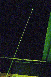
The basic idea is simple: a pulse of laser light is emitted into the night sky, and the amount of light scattered back from the atmosphere is measured versus time. Knowing the speed of light, the time is converted into height. The amount of light returned from each height is proportional to the atmospheric density.
What atmospheric measurements do we make?
Ozone DIAL LIDAR
The differential absoprtion lidar (DIAL) uses two laser wavelengths to measure the ozone in the atmosphere. One wavelength is strongly absorbed by ozone, while the second wavelength is less absorbed. The two wavelengths travel through the atmosphere and are scattered back to two receivers. The signals are compared to give a measure of the concentration of ozone at a range of heights.
Raman LIDAR
Raman scattering is the theory of light scattering by molecules, where the wavelength is changed by the scattering. The change in wavelength depends on the temperature of the air and the type of molecule from which the scattering takes place. At Capel Dewi near Aberystwyth, Mid-Wales, a Raman scatter lidar is used to measure water vapour concentration and air temperature.
Aerosol LIDAR
Volcanoes blow millions of tonnes of dust into the air when they erupt. This dust is seen as a layer of enhanced lidar signal for years after some eruptions. In the frame of the Framework 5 project EARLINET (European Aerosol Research LIdar NETwork to establish an aerosol climatology), a combined Raman elastic-backscatter Lidar was used to determine height profiles of the aerosol extinction and backscattering coefficients.
Cirrus cloud LIDAR
The depolarization ratio of backscattered light is being used to study the structure and dynamics of cirrus clouds.
